Gallery
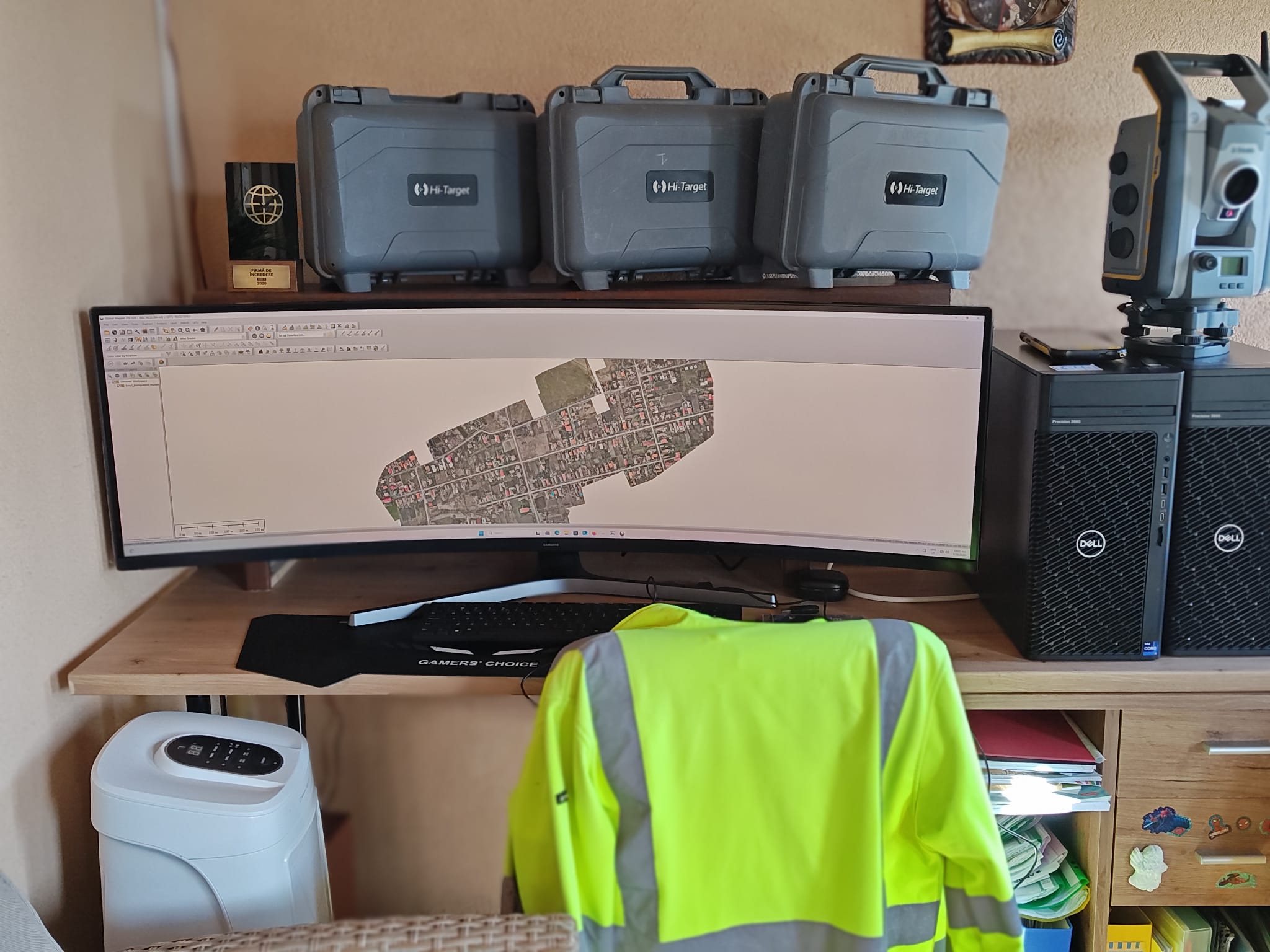
Echipament
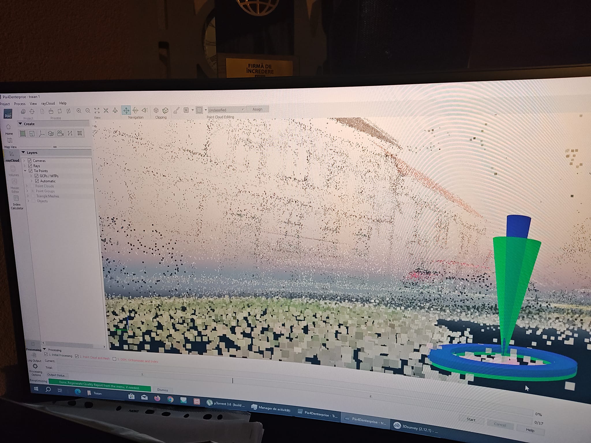
Final Work
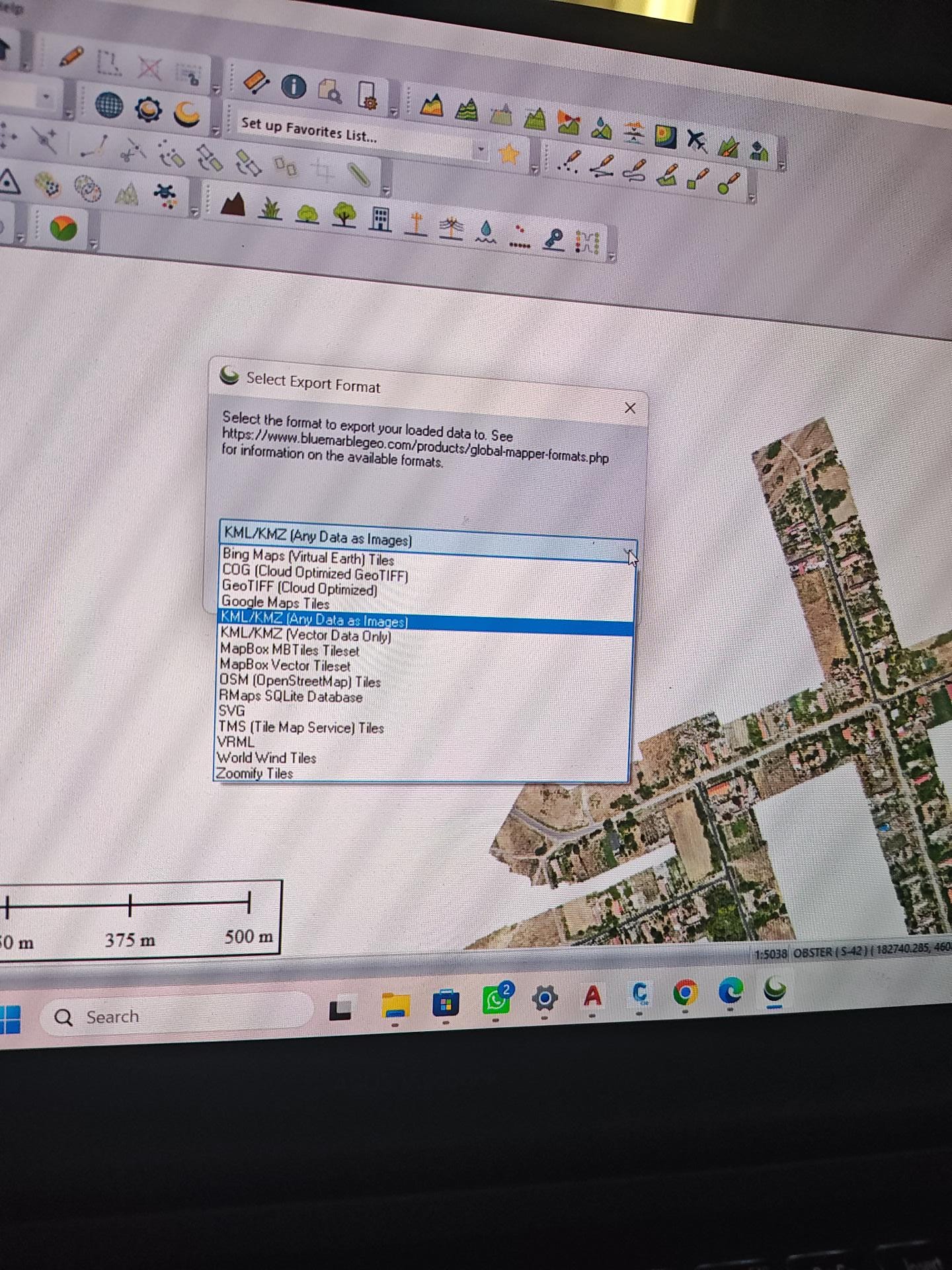
Office
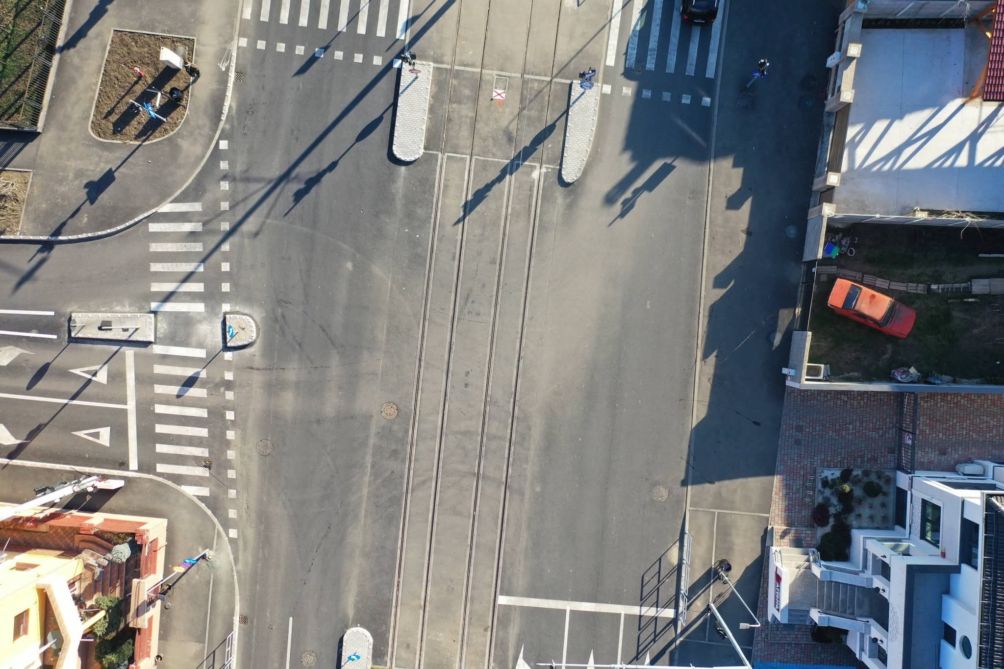
Office 1
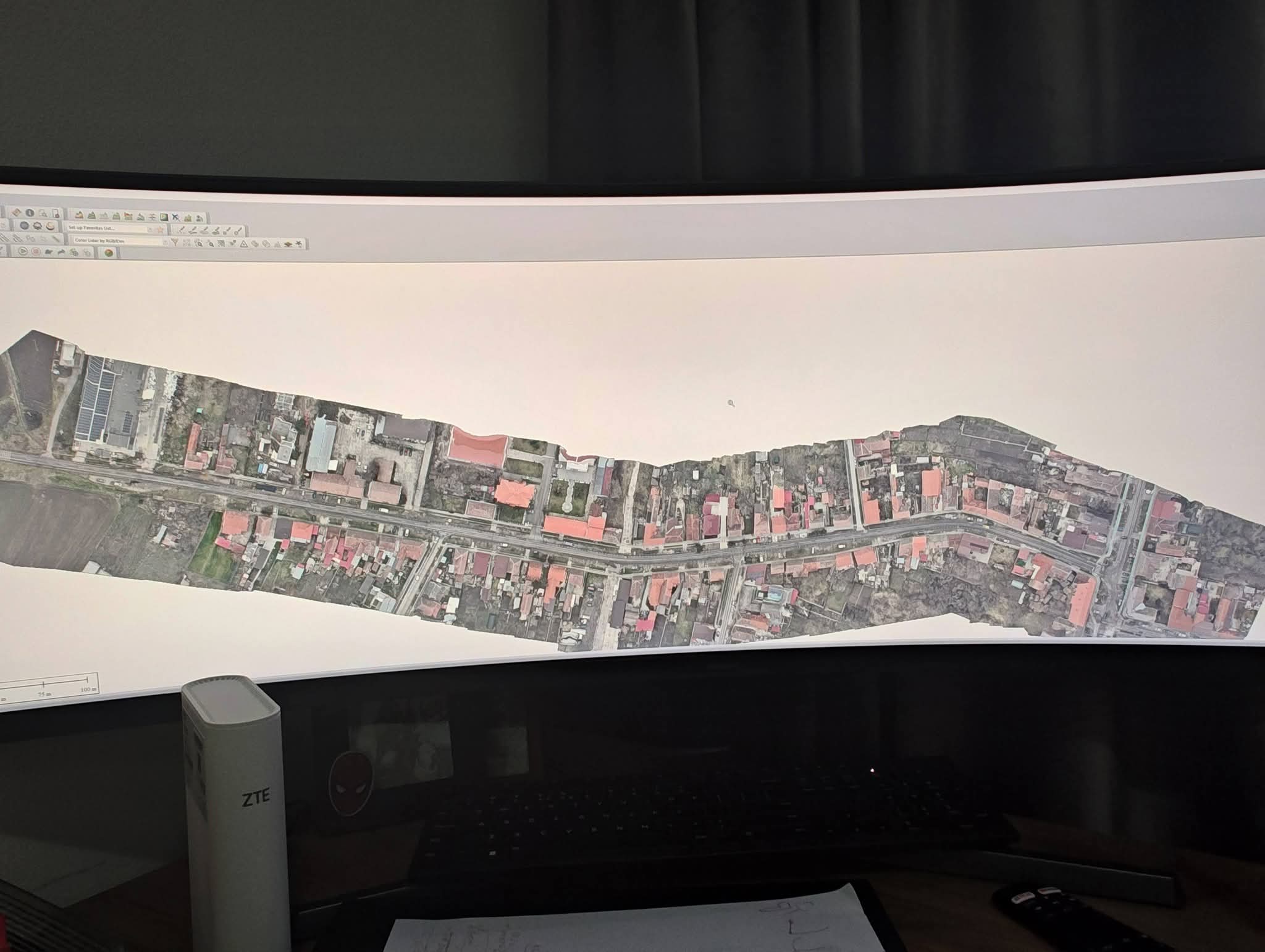
Office 2
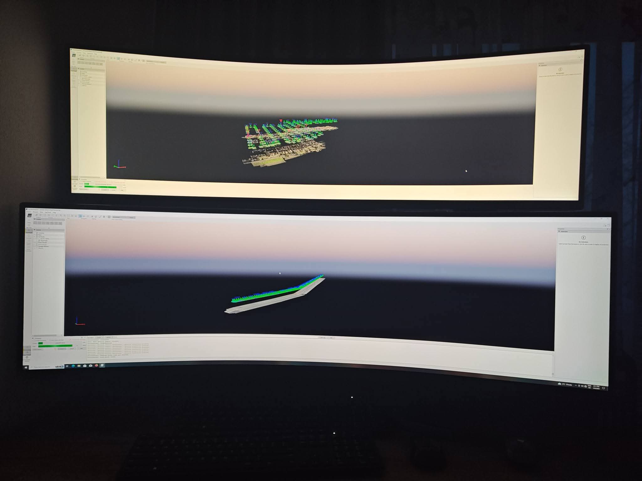
Office 3
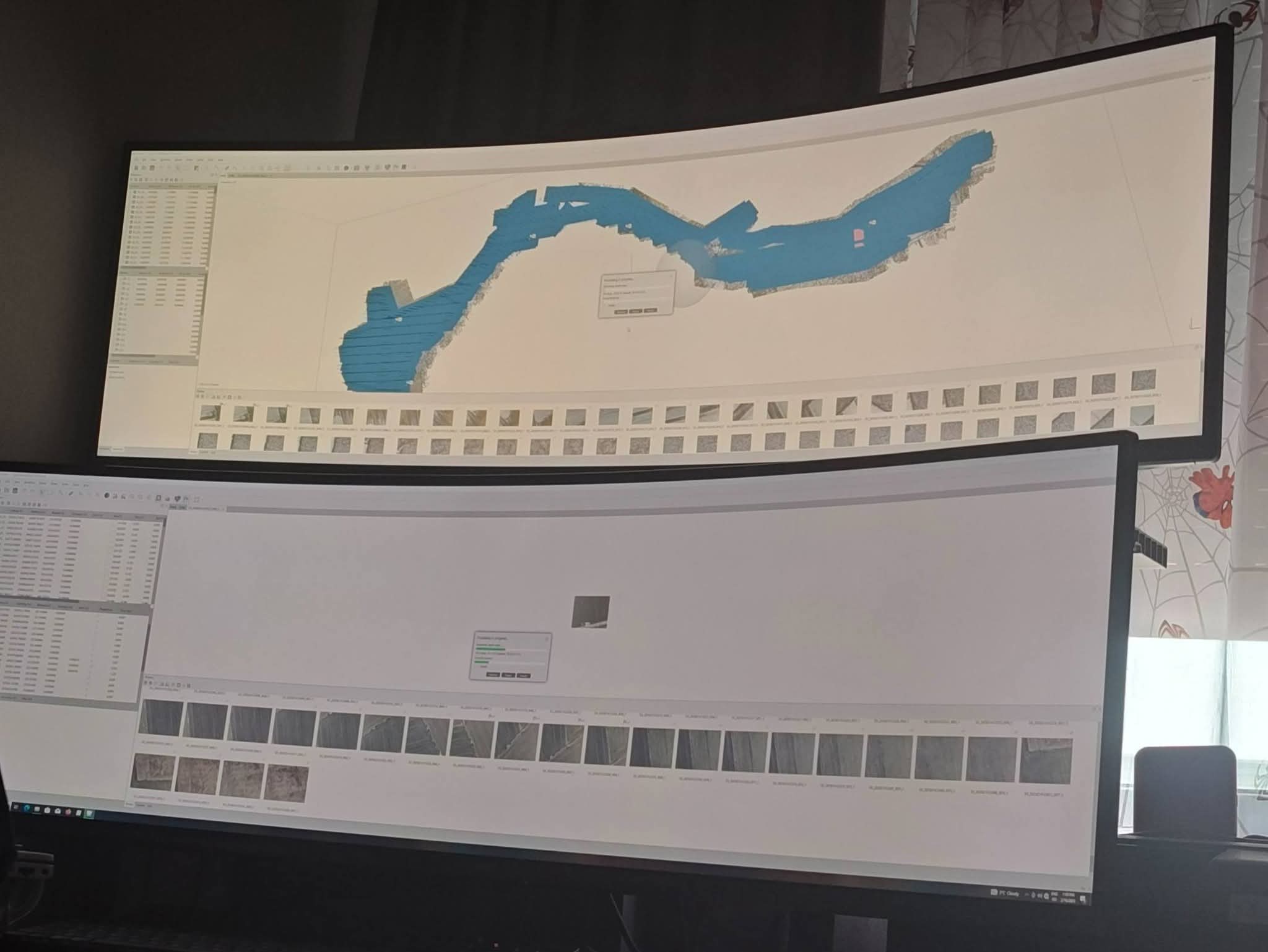
Office 4
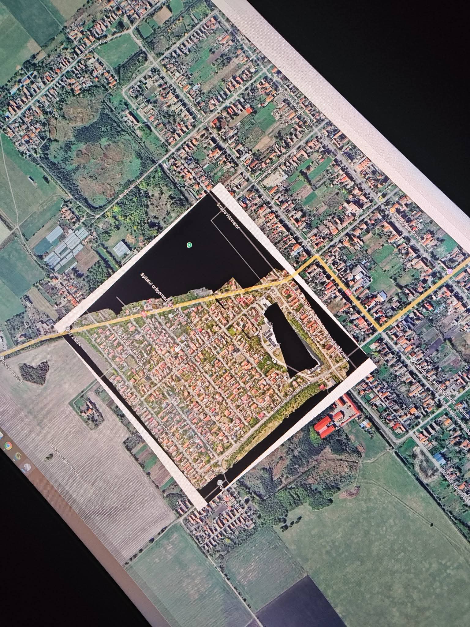
Office 5
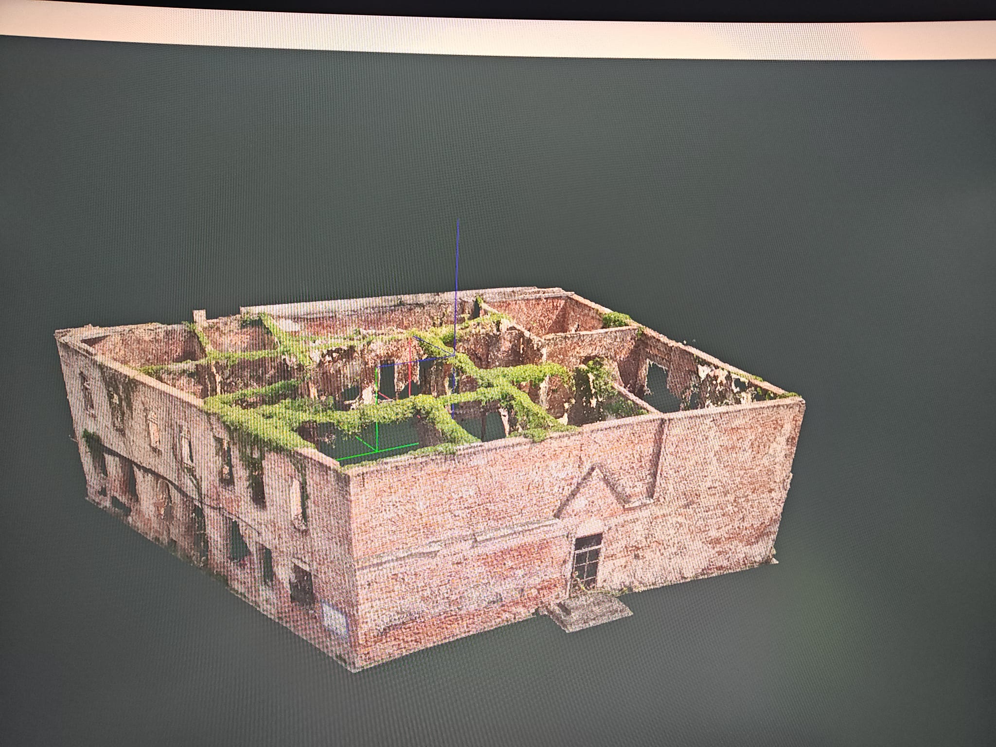
Office 6
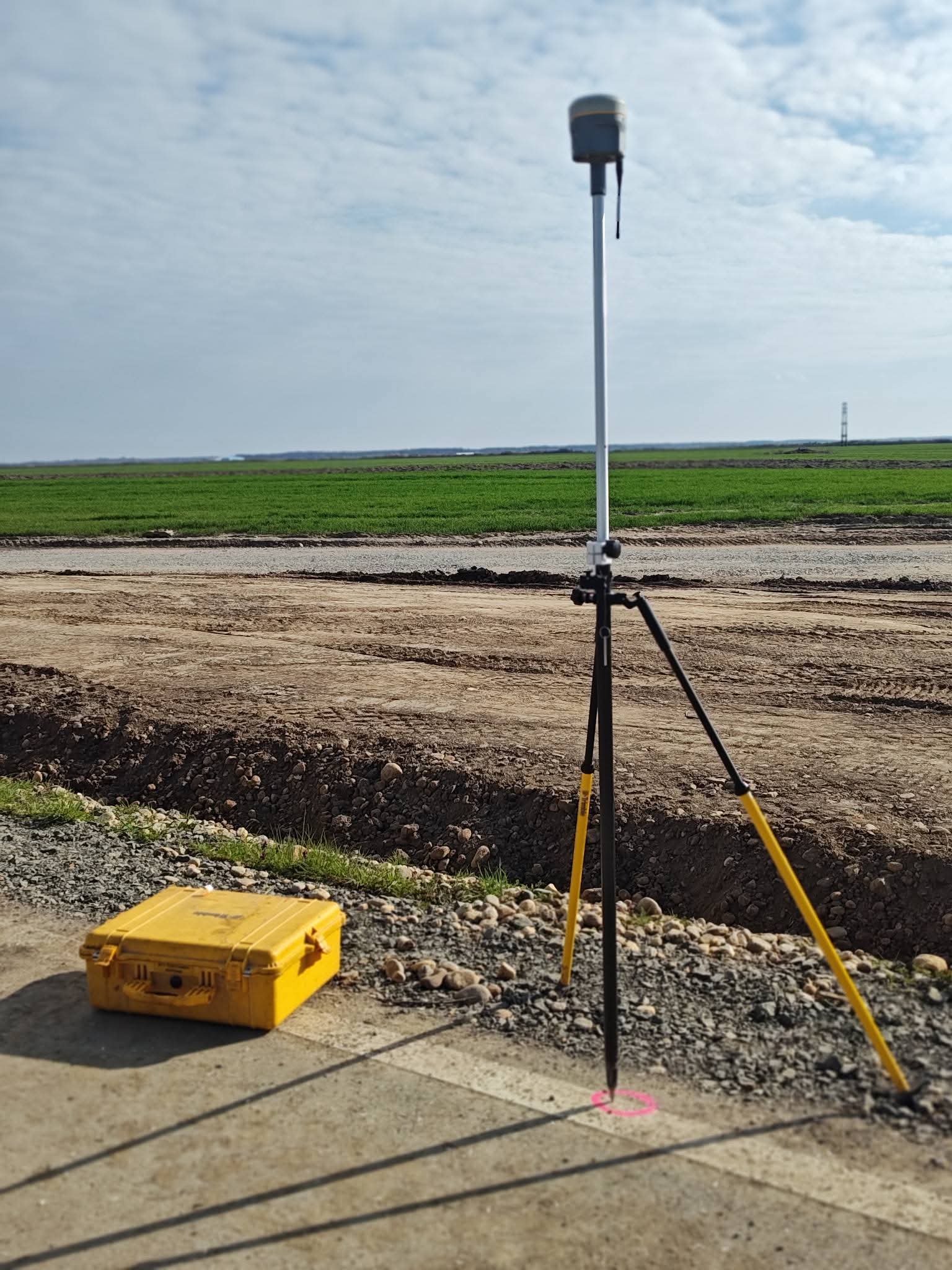
Teren 1
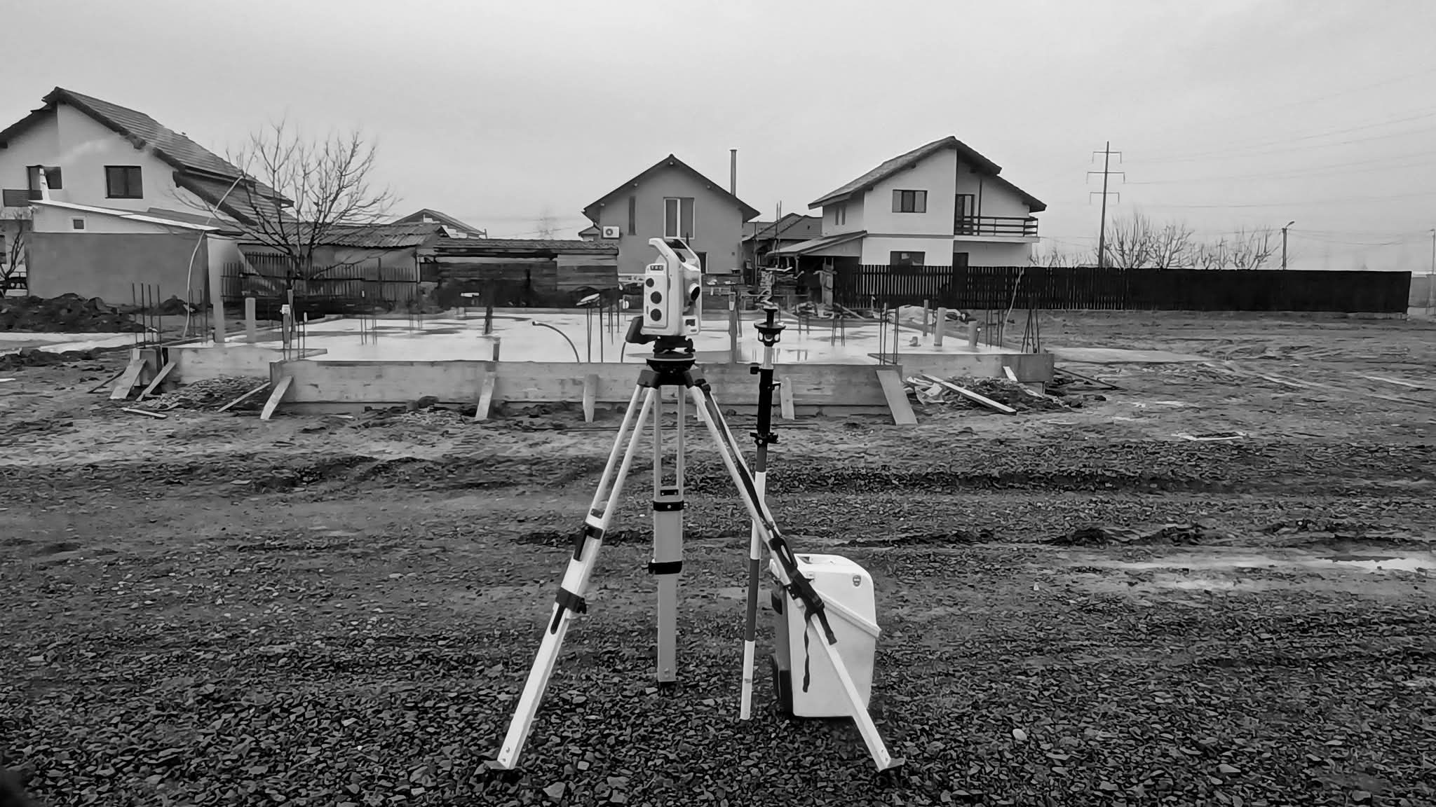
Teren 2
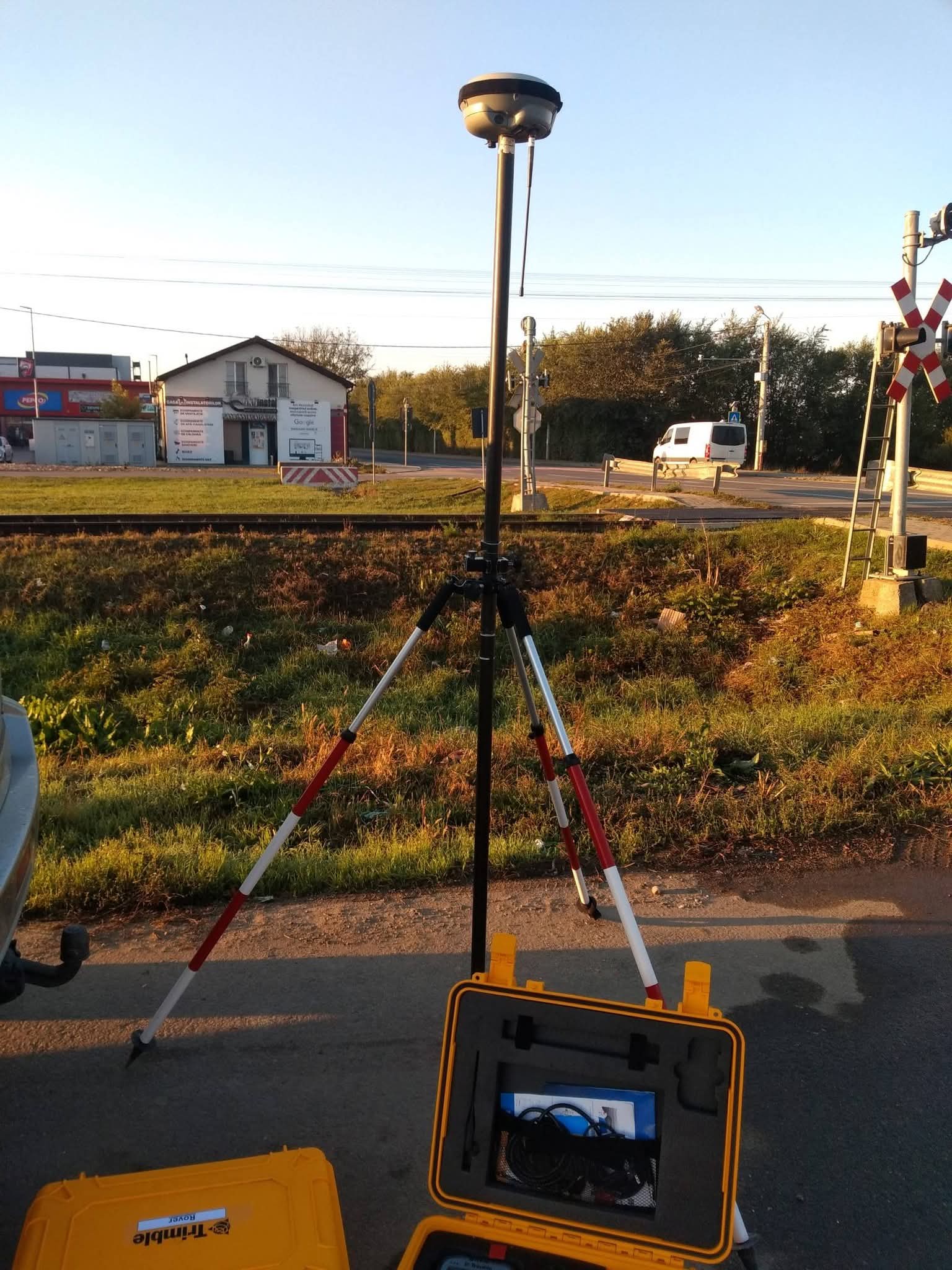
Teren 3
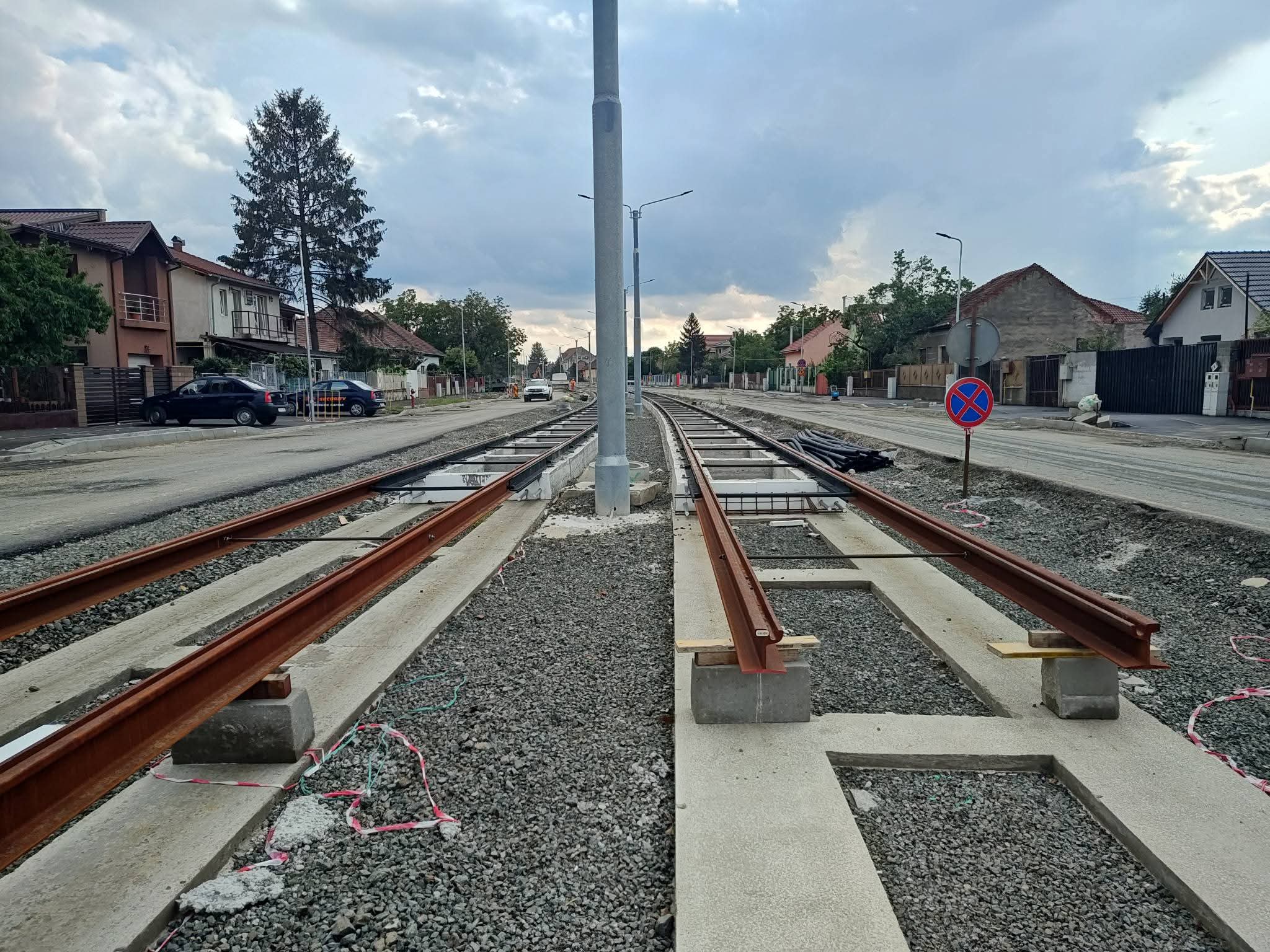
Teren 4
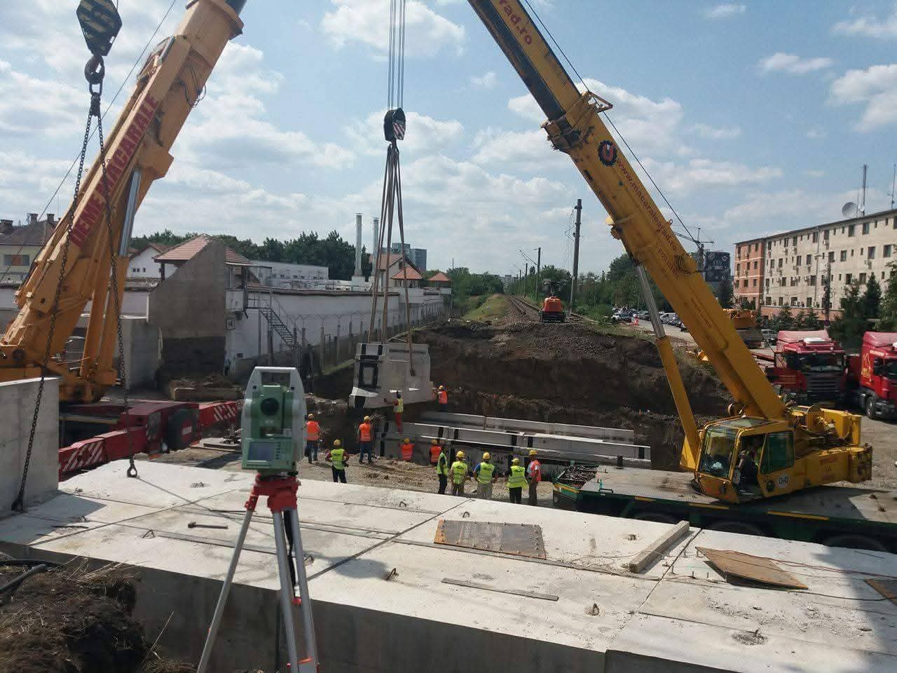
Teren 5
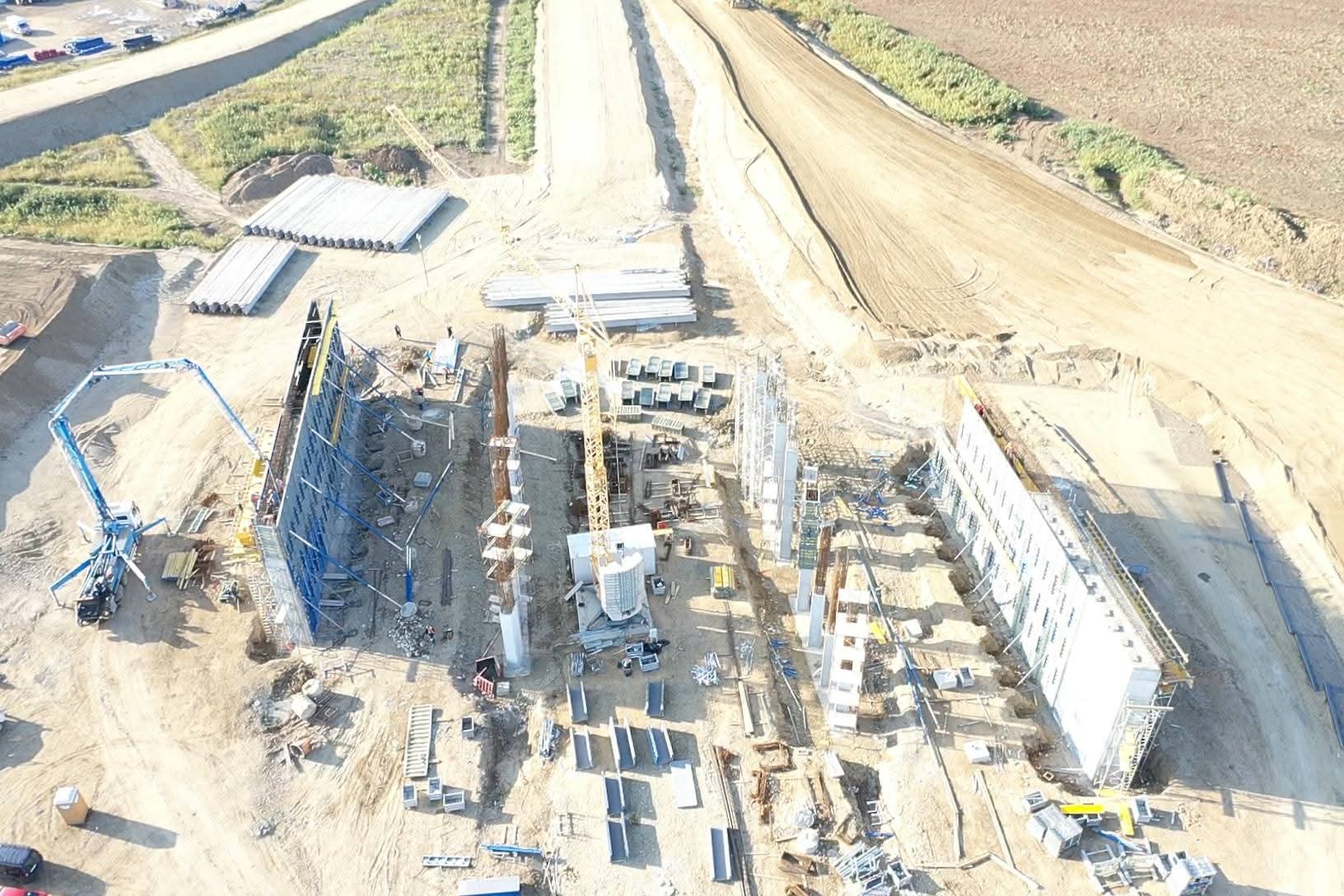
Teren 6
High-Precision Aerial Data & Geospatial Solutions for Infrastructure & Engineering
DISCUSS A PROJECTWith 8 years of professional experience in the geospatial field, LIDAR MID CAD operates with a specialized team of experts providing engineering survey solutions:
Orthophotomaps & terrain models.
Dense point clouds & canopy penetration.
Corridors, railways, energy networks.
Stockpile measurements & earthworks.
Street vectorization & municipal surveys.
Our portfolio includes large-scale infrastructure mapping, urban developments, and volume analysis for industrial clients.